Transform Urban Planning with Location Intelligence
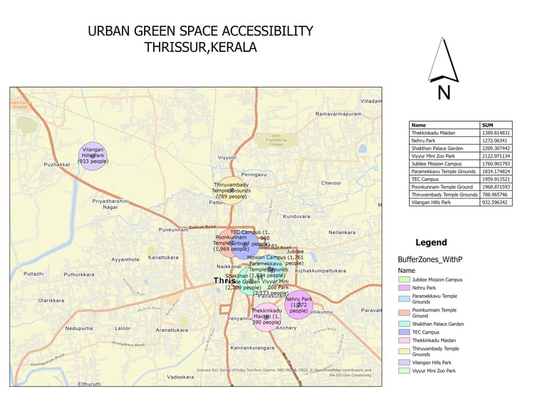
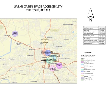
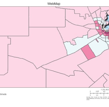
This map analyzes accessibility to major green spaces in Thrissur, Kerala using buffer zones and population data. It highlights how many residents are served by each park within a walkable distance, supporting data-driven decisions in urban planning. Tools used: ArcGIS Pro.