Transforming Geospatial Data into Actionable Insight

Insight in Every Layer

End-to-end GIS services for precise mapping.

Advanced spatial analysis for informed decision-making.

Custom solutions to enhance efficiency and sustainability.

A person is viewing a map with red data points on a computer monitor, likely indicating a geographical distribution. The image has a focus on technology and data analysis.
A digital map highlights various regions with differently sized red circles, indicating concentration or intensity of certain data points, overlaid on continents such as Europe, Africa, and part of Asia. Labels in white define geographical markers including oceans and continents with faint outlines in the background.
Detailed map displaying data visualization with blue circular markers representing specific data points across a geographical area labeled with city names such as Lisbon and Evora. Bold, brightly colored numerical statistics appear on the left side with the terms 'Suspeitos' and 'Amostras,' suggesting a context of data tracking or analysis.

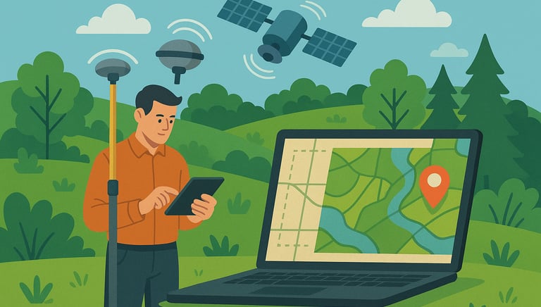
Transforming Spatial Data into Insights

At Georay Solutions, we turn raw spatial data into powerful insights, driving smarter decisions for government agencies, utility providers, and private firms alike since 2015.

Hands are holding a topographic map and a compass. One hand is pointing at a specific location on the map, indicating navigation or orientation. The map is detailed with green shades, representing terrain or elevation.

150+

15

Expertise

Proven Results

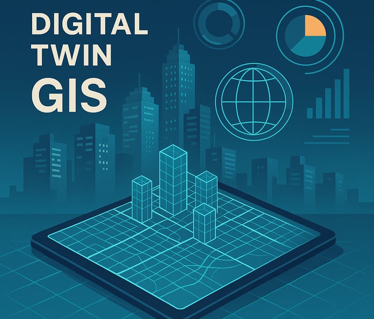
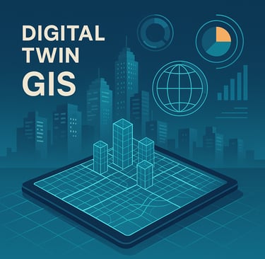
Geospatial Solutions

Transforming data into actionable insights for smarter decision-making and sustainable growth.

GIS Data Collection

Comprehensive data collection services to ensure accuracy and reliability in your geospatial projects.
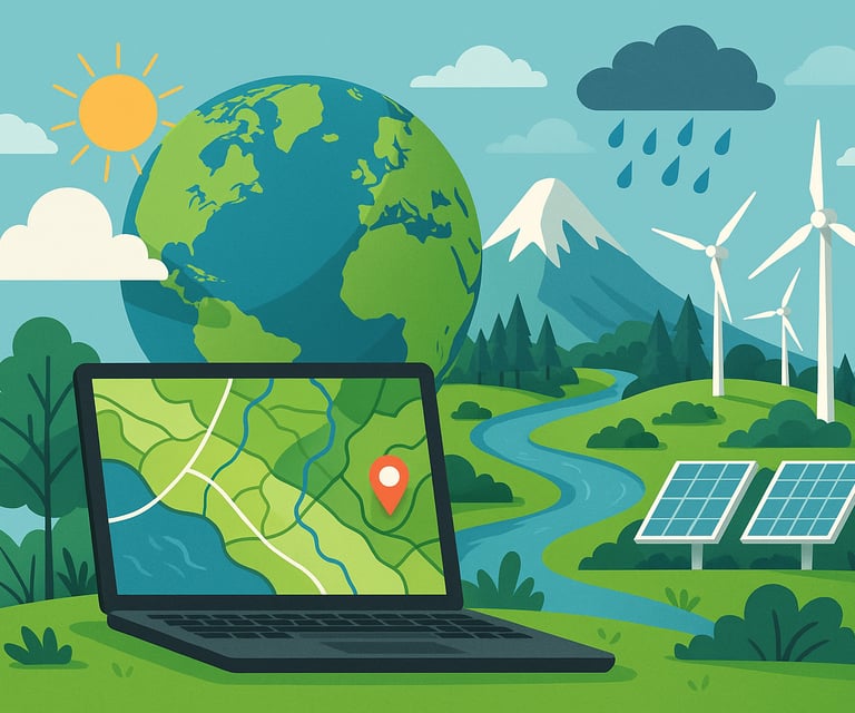
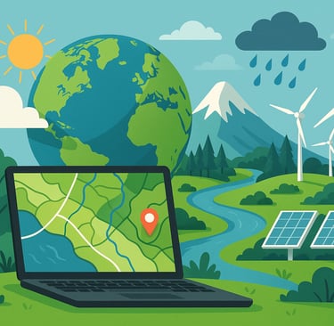
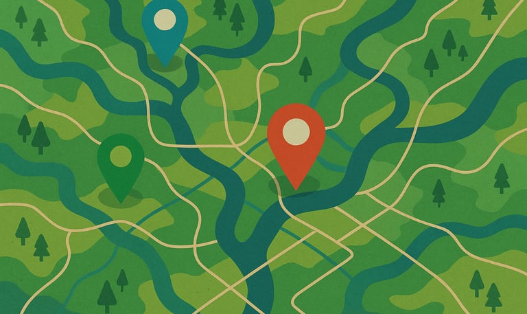
Spatial Analysis

Advanced spatial analysis techniques to reveal patterns and trends that drive informed decision-making.

A hand points at a location on a detailed vintage map. A camera is partially visible, suggesting an interest in travel or exploration. Green leaves frame part of the image, adding a natural element.

Geospatial Insights

Transforming spatial data into actionable insights for smarter decisions.

A hand holding a smartphone displaying a map application with a red location pin on the screen. The background features a blurred view of a cityscape with buildings and hills under a cloudy sky.
GIS Project Overview

Explore our diverse GIS projects that showcase our expertise in transforming raw spatial data into meaningful insights, enhancing efficiency and sustainability for various sectors and clients.

Client Success Stories

Discover how Georay Solutions has empowered clients through innovative geospatial technology, delivering tailored solutions that drive growth and improve decision-making across multiple industries.

Georay Solutions transformed our spatial data into actionable insights, greatly improving our decision-making process.

John Doe

A map is spread out on sandy ground, surrounded by two people with hiking boots and one visible arm. The setting suggests planning or navigating during an outdoor adventure.
A close-up view of a map featuring the United States with several transparent push pins marking specific locations. The map is predominantly black and white, with the push pins adding a subtle three-dimensional element.

★★★★★